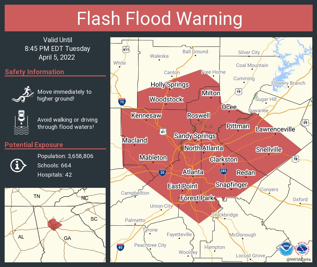
Sandy Springs and metro Atlanta face a Level 2 out of 4 flash flood risk this week, with the National Weather Service forecasting severe storms carrying gusty to damaging winds, frequent lightning, and heavy rainfall from Monday, July 13, through Wednesday, July 15.
NOAA's Weather Prediction Center issued the Level 2 designation Monday for a broad swath of the Southeast that includes Georgia. The NWS placed at least a 15 percent medium probability of flash flooding across metro Atlanta for Monday afternoon and evening alone, with 70 to 80 percent precipitation chances each day through Wednesday.
What to expect
Tuesday, July 14, will bring lots of rain and wind. The NWS forecasts showers and thunderstorms throughout the day, a high near 81°F, east winds around 10 mph with gusts up to 15 mph, and an 80 percent chance of precipitation. AccuWeather warns up to 3 inches of rain could fall across the Southeast on Tuesday, with totals potentially doubling in areas hit by repeated storms.
Wednesday, July 15, brings a 70 percent chance of precipitation, with storms likely after 2 p.m. and again after 5 p.m., and a high near 86°F.
How to stay informed
Residents can sign up for Sandy Springs Alerts, the city's opt-in emergency notification system powered by Everbridge, at spr.gs/alerts. The system sends severe weather alerts, power outage notifications, and public safety updates via text, email, voice call, or mobile app.
For non-emergency concerns during the storms, the city's Call Center is available 24/7 at 770-730-5600. In an emergency, call 911.
Why the risk is elevated
AccuWeather meteorologist Elizabeth Danco reported that tropical moisture surging northward from the Gulf of Mexico, combined with a slow-moving cold front sagging southward, is setting the stage for near-daily rounds of heavy rain. AccuWeather warns the storms could sit over the same areas repeatedly, compounding flood risk as the ground saturates.
NOAA notes that densely populated areas face higher flash flood risk because pavement and rooftops reduce ground absorption and storm drains can become overwhelmed. That's a factor across Sandy Springs, where impervious surfaces cover much of the city's commercial corridors.
Severe storms from the remnants of Tropical Storm Arthur knocked down trees and power lines across metro Atlanta in mid-June, leaving thousands without power, according to CBS Atlanta. That recent damage means some drainage infrastructure may already be stressed heading into this week's storms.
What comes next
The NWS forecast shows storm probability dropping to 40 percent after 2 p.m. Thursday, July 16, with the flash flood threat window closing Wednesday night.