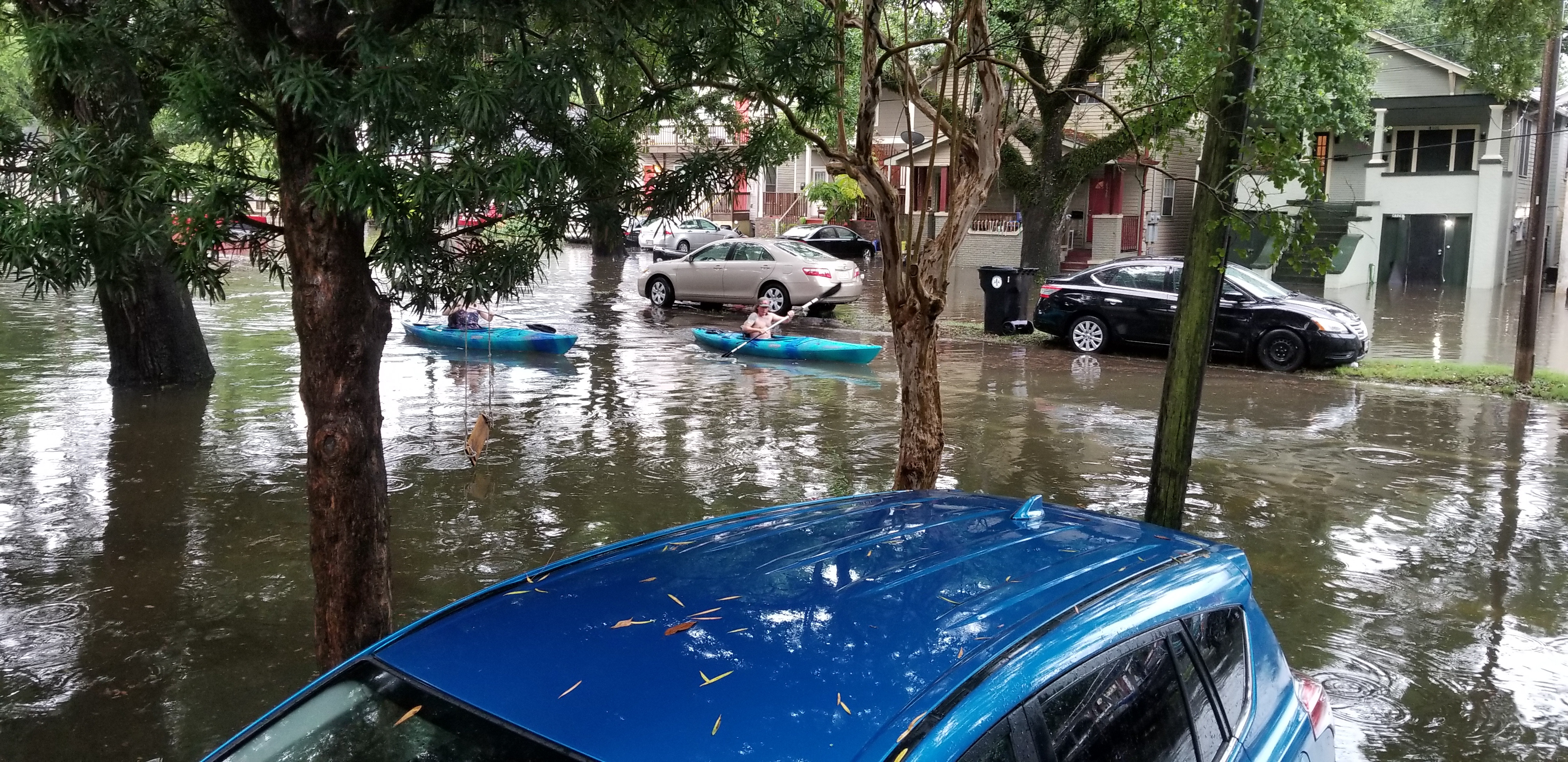
Sandy Springs could see 2 to 5 inches of rain Saturday and Sunday as a storm system pushes across Georgia. Flash flooding is possible in low-lying and urban areas.
The National Weather Service (NWS) forecast for Sandy Springs calls for showers likely on Saturday, Oct. 3, with a high near 85 degrees, followed by heavier rain Sunday, Oct. 4, with a high of 74. The NWS labels Saturday and Saturday night as "showers likely" and Sunday as "showers," with rain chances holding strong through Sunday night.
The heaviest window runs Saturday afternoon through Sunday night. By Monday, Oct. 5, chances drop to 30 percent, and conditions should clear by Tuesday, Oct. 6.
How much rain
Forecasts vary on totals, reflecting genuine uncertainty. AccuWeather projects a widespread 1 to 3 inches across the Southeast, with locally higher amounts where thunderstorms repeatedly track over the same ground. Patch reported Thursday, Oct. 1, citing NWS forecasters, that rain could surpass 2 inches and reach more than 5 inches in some towns. The FOX Forecast Center put Atlanta in a 3-to-5-inch zone through Monday.
Georgia is expected to see the heaviest totals. The FOX Forecast Center said the highest rain through Monday will fall across Louisiana, Mississippi, Alabama and Georgia, where a widespread 2 to 3 inches is likely.
Where Sandy Springs floods
The Nancy Creek basin is the city's best-known flood-prone corridor. About 16 percent of the basin lies within Sandy Springs, and the city's own flood-zone page notes that recent creek inspections found trees, trash and other debris that may restrict water flow. The city acknowledges that complete flood prevention in the basin is not possible.
GA-400 southbound near the Northridge Road exit has flooded during past storms, according to local weather accounts on social media. Drivers should watch for standing water on that stretch.
How to prepare
Residents who have not signed up for the city's opt-in Sandy Springs Alerts system can do so on the city's website. The system sends severe weather alerts, power outage notices and traffic updates directly to subscribers. The city also posts real-time road closures and emergency updates on its social media accounts during storms.
Residents with questions about whether their property sits in a flood zone can contact Land Development Manager Jesus Davila at [email protected].
The NWS forecast shows just a 20 percent chance of showers by Tuesday, Oct. 6, with drier conditions expected into midweek.